
Marine Geophysical
01 / Seismic, bathymetry, positioning, and survey supportMarine Geophysical Survey
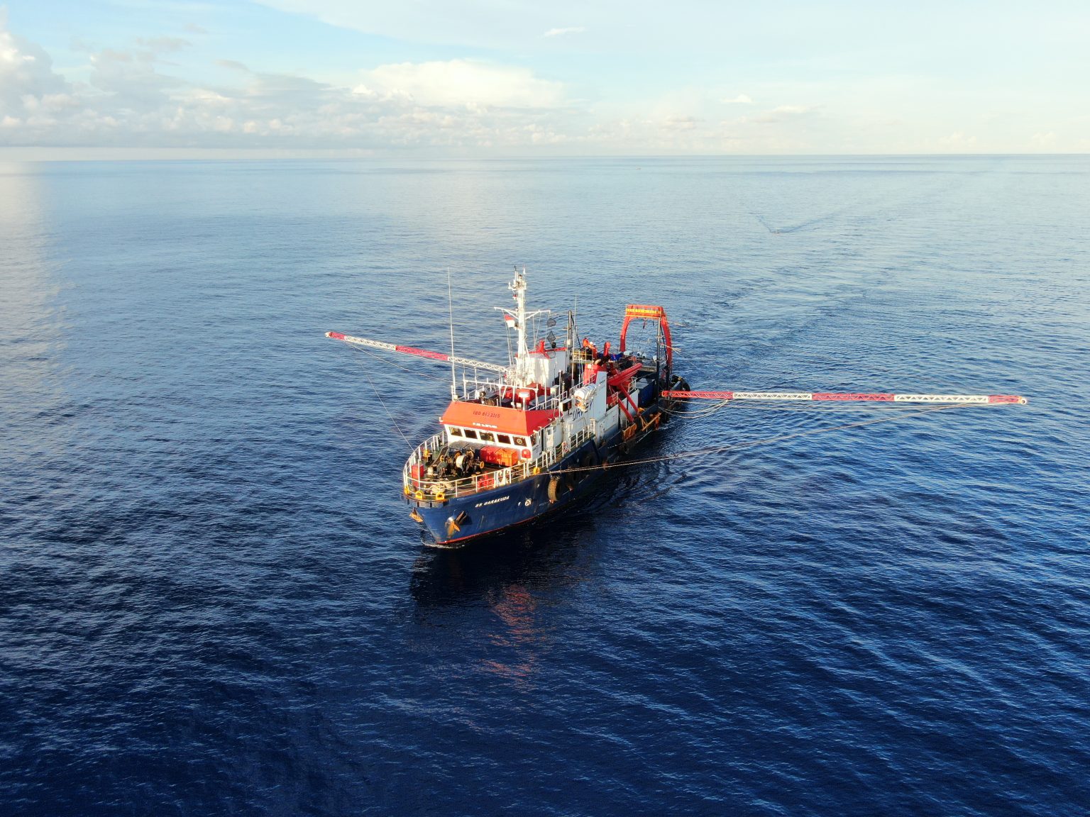
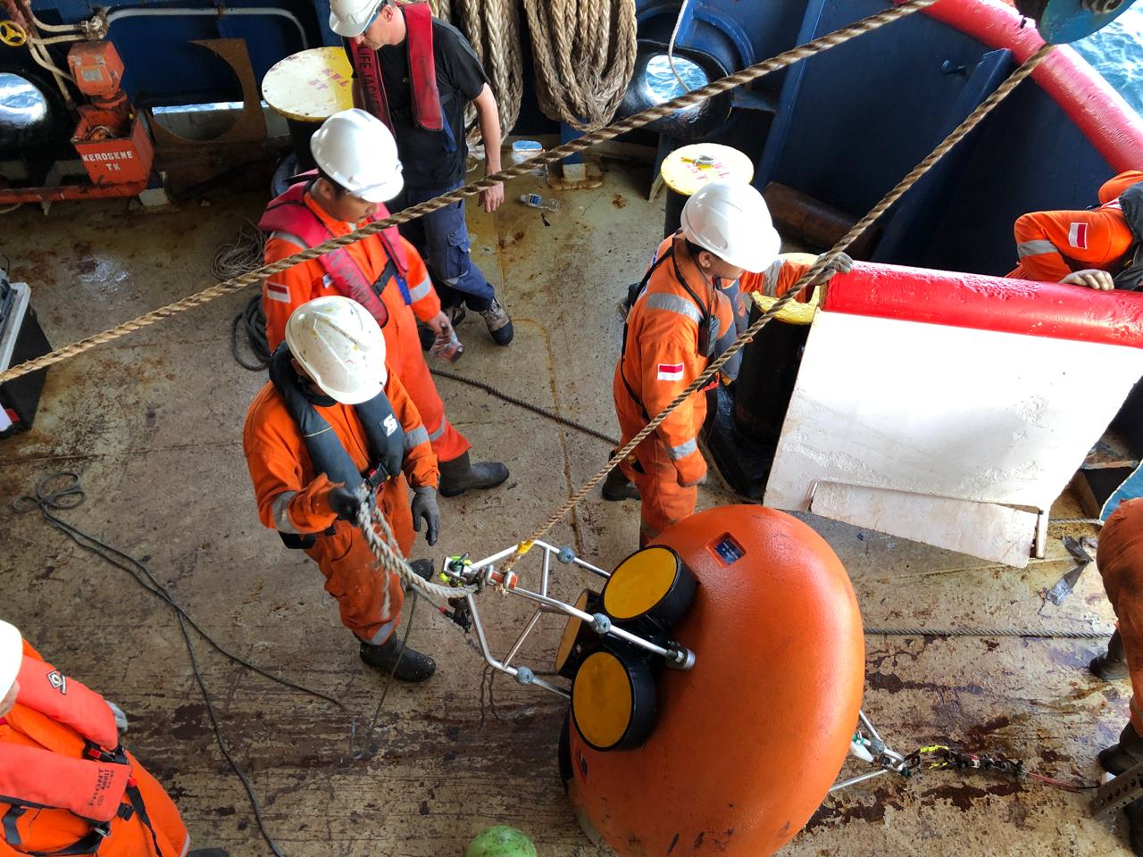
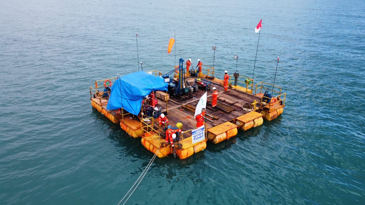
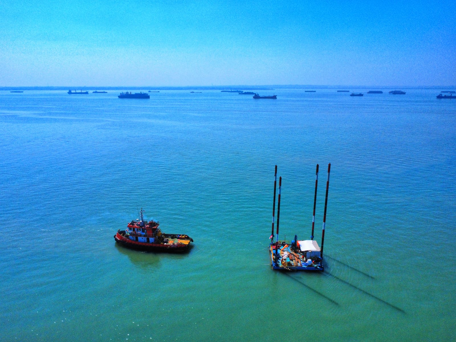
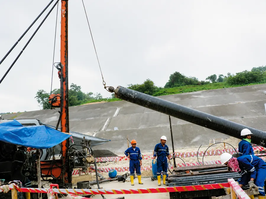
Marine geophysical work at THI covers 2D/3D High Resolution Marine Seismic, bathymetry, positioning, seabed imaging, geophysical logging, metocean support, and supporting field data services. The scope is selected around the survey objective, water depth, route or site condition, and required deliverables.
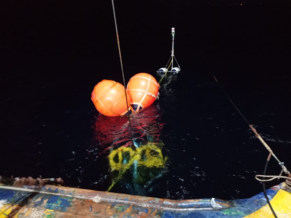
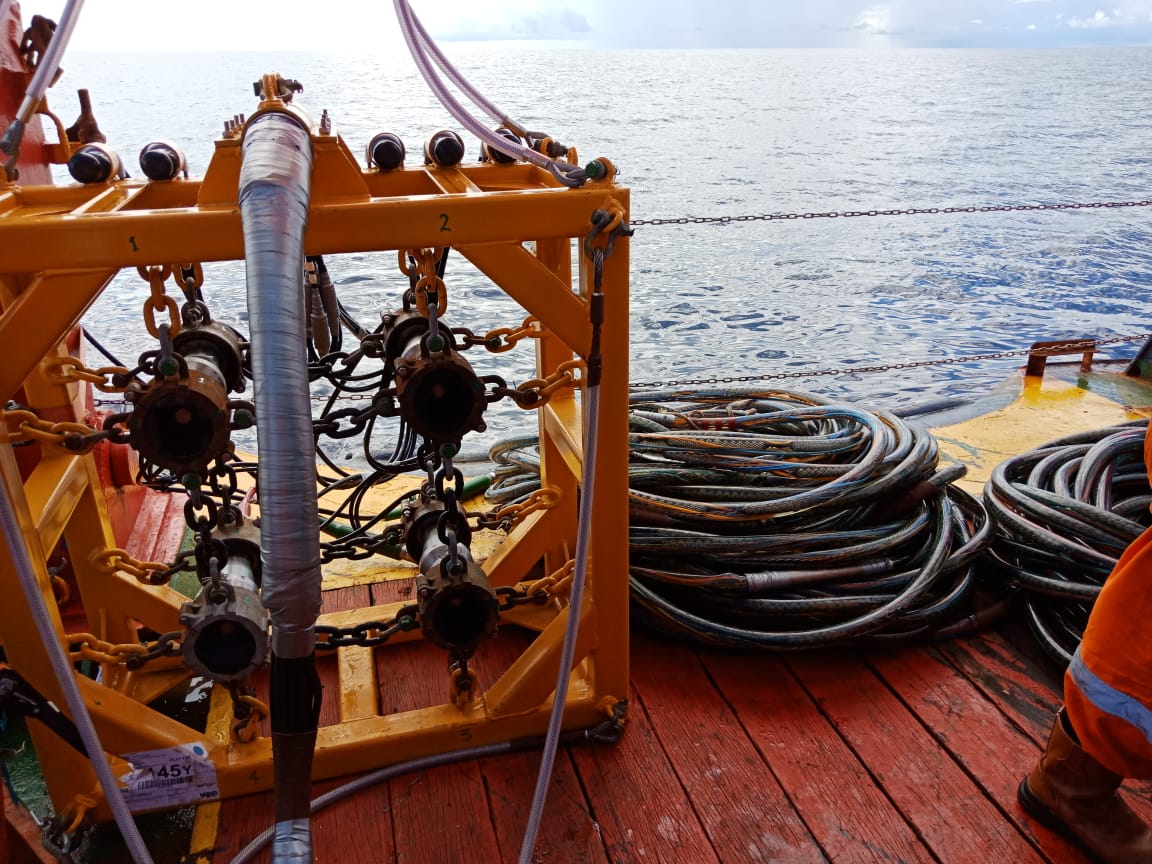
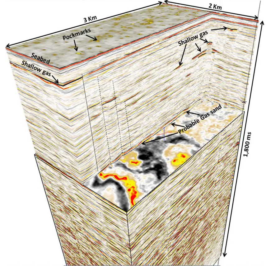
THI provides 2D/3D High Resolution Marine Seismic services for geohazard surveys and oil and gas exploration. The work combines high-technology acquisition systems, experienced personnel, efficient offshore operation, and integrated processing and interpretation.
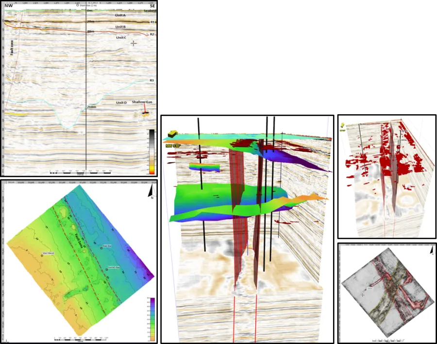
Final processed HR 3D seismic volumes are prepared for high-quality, high-resolution interpretation so project teams can review shallow hazards, subsurface continuity, and exploration targets with greater confidence.
SeismicHigh Resolution and Ultra High Resolution seismic configurations are available.
AcquisitionSurvey depth may reach up to 2,000 m, depending on geology, with 3D data resolution of up to 6.25 m × 6.25 m.
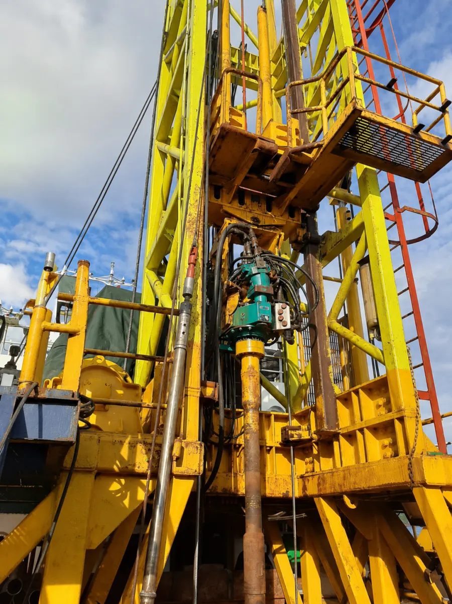
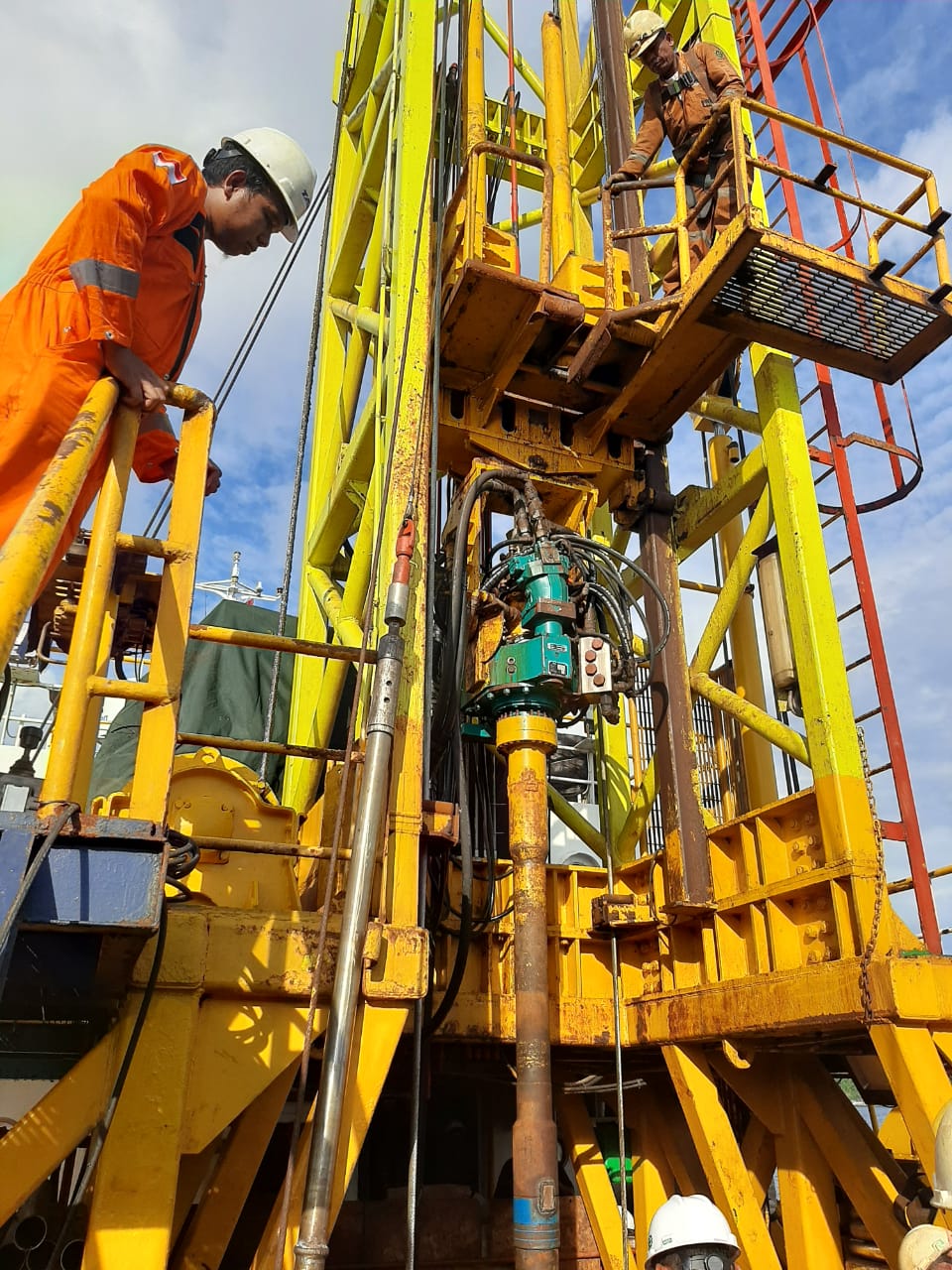
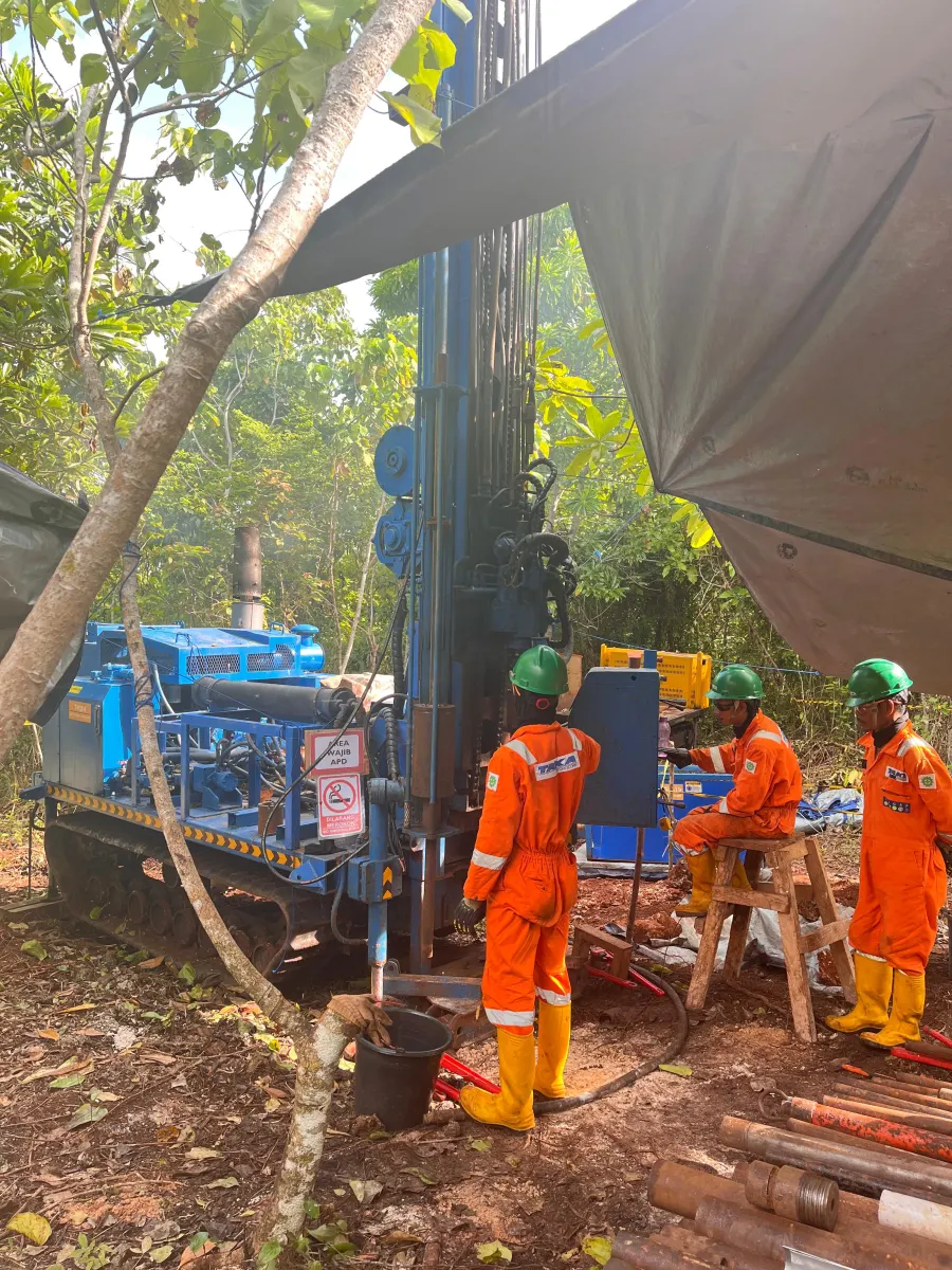
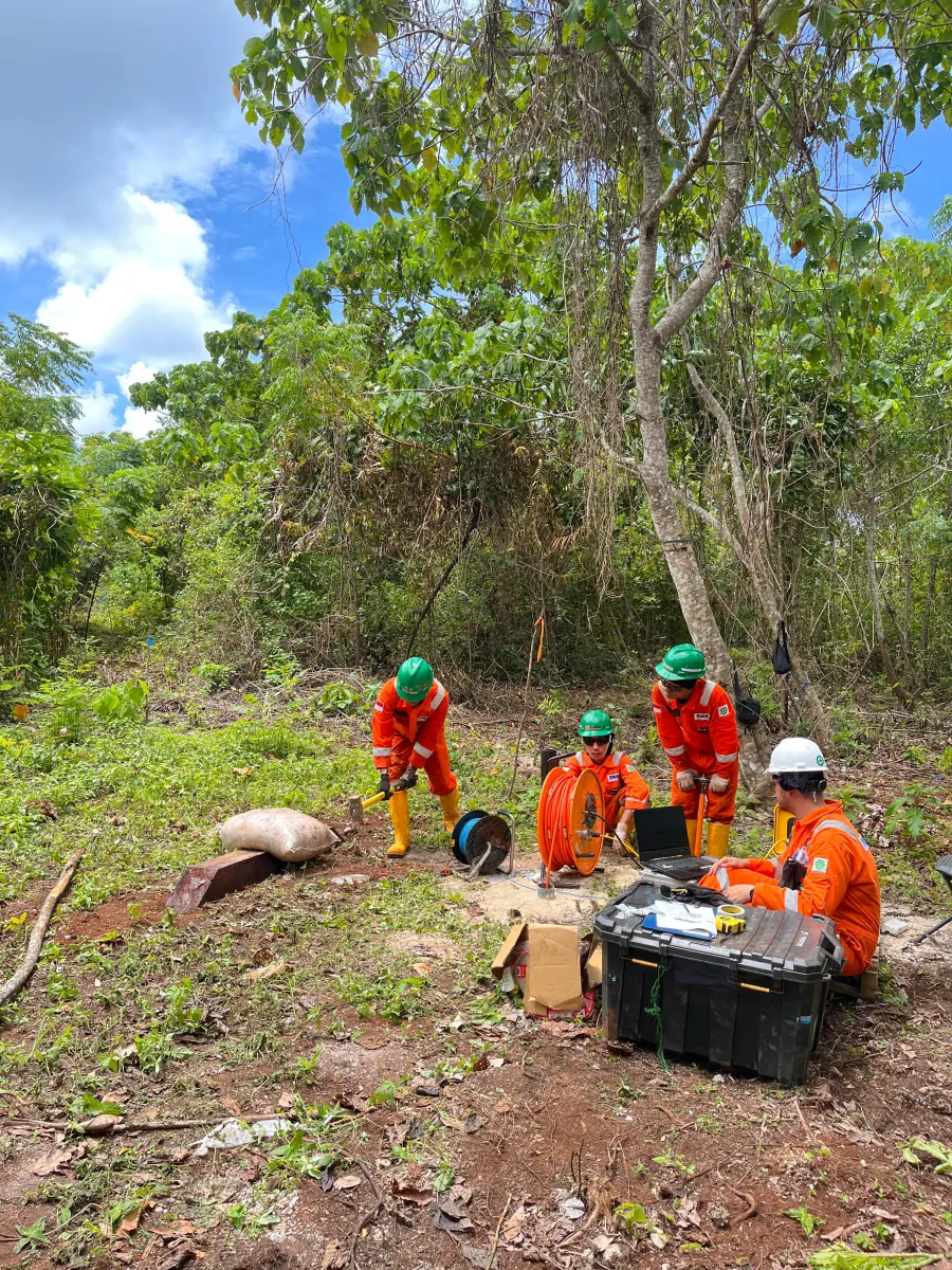
SupportPositioning, topographic survey, bathymetry, metocean, geophysical logging, pumping test, slug test, and field data support.
DeliverablesAcquisition, processing, analysis, interpretation, and practical reporting aligned to client objectives.
.jpeg)
/1.jpeg)
/IMG-20250801-WA0010.jpg)